Key Highlights
- National Weather Service forecasts up to 8 inches of rain in parts of Southern California.
- Evacuation warnings issued for burn scars areas due to debris flows risk.
- Flood watches and flash flood risks for much of Southern California from Friday night through Saturday night.
- Rainfall estimates vary significantly across different regions in Southern California.
Southern California Faces Severe Weather: Forecast Details and Safety Tips
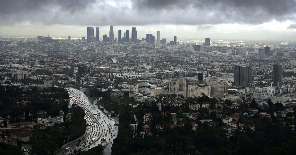
A significant storm is moving into Southern California, bringing with it the potential for heavy rainfall, mudslides, flash floods, and even small tornadoes. The National Weather Service in Oxnard predicts up to 8 inches of rain in coastal areas, significantly higher than the typical November rainfall.
Storm Impacts and Safety Measures
The heaviest part of the storm is expected to hit Santa Barbara on Thursday night and slowly move southward. Rainfall rates could exceed half an inch per hour, triggering debris flows in burn scars such as Eaton, Palisades, Kenneth, and Canyon fire areas. Local authorities have issued evacuation warnings for these regions.
Residents should be prepared to evacuate if necessary.
The Los Angeles County emergency website will provide ongoing updates. Flash floods, roadway closures, and small tornadoes are all potential hazards. LAX flights may experience delays due to strong winds on Friday and Saturday.
Rainfall Estimates and Forecast Updates
The rainfall estimates from the National Weather Service show significant variation across Southern California:
- Santa Maria: 3.18 to 4.23 inches
- Santa Barbara: 4.2 to 5.6 inches
- Downtown L.A.: 2 to 4.8 inches
- Long Beach Airport: 2.5 to 4.22 inches
- Orange County: 3 to 4 inches
- Oceanside: 2.5 to 3 inches
- Riverside: 2 to 2.5 inches
- San Bernardino: 2 to 2.5 inches
- Joshua Tree: 1.5 to 2 inches
- Escondido: 2 to 2.5 inches
Forecasters note that the storm is difficult to predict due to its nature as a cutoff low, and estimates could change. A flood watch will be in effect for Santa Barbara, Ventura, and Los Angeles counties from Friday night through Saturday night.
Preparation Tips for Angelenos
To stay informed during the storm, Angelenos should sign up for emergency text messaging services like Alert L.A. County. It’s crucial to be aware of local agency X accounts for real-time updates.
The guide provided by LAist offers steps on how to prepare for emergencies, including staying tuned to weather and road conditions, driving safely in rain, and using generators properly.
For severe winds, residents should ensure traffic signals are working or approach intersections as four-way stops. Keep a battery-operated radio and flashlights accessible. Do not drive through standing water and avoid touching downed power lines.
Follow local emergency numbers for reporting flooded roads or downed trees.
If you use a generator, place it outdoors and plug appliances directly into the generator using heavy-duty extension cords to prevent backfeed. Keep refrigerator doors closed with ice blocks inside if necessary.
Local authorities are urging residents to check on neighbors during emergencies and ensure everyone’s safety.
About LAist’s Coverage
LAist, a major news publication, is committed to providing accurate and timely information in the face of evolving weather conditions. The article is updated regularly with the latest forecast details and safety tips from credible sources such as the National Weather Service and local government alerts.
Despite facing financial challenges, LAist continues to rely on reader support to sustain its mission of independent journalism covering important news for Southern Californians. If you value this service, consider becoming a monthly member to help fund your local journalism.
This developing story will be updated with new information as it becomes available. Stay tuned for ongoing coverage from LAist and other official sources.