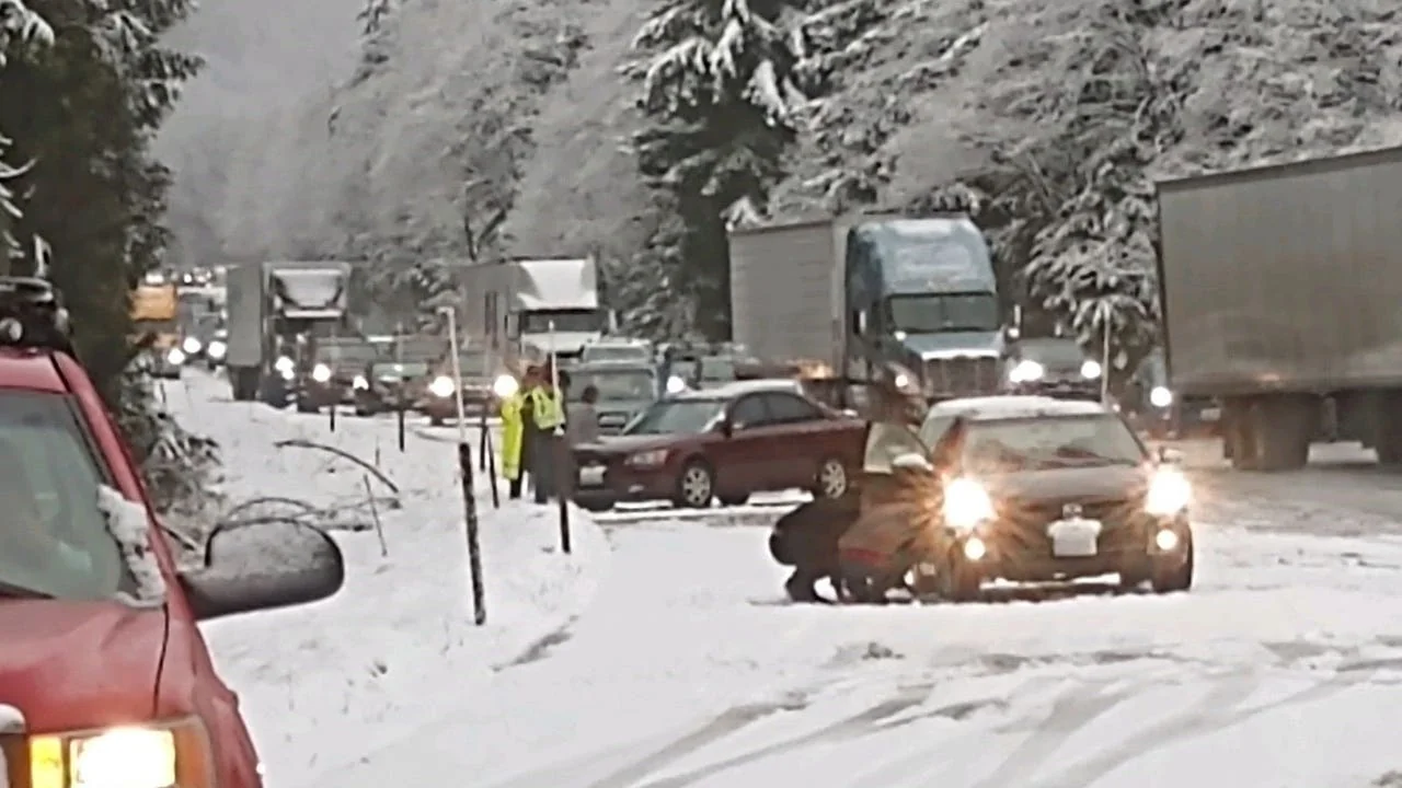
Key Highlights
- The first measurable snowfall of the season is expected at Snoqualmie Pass this weekend.
- Historically, the earliest recorded snowfall was on October 9, 2019, and the latest on December 5, 2002.
- Weather models suggest that snow levels could drop to around 3,000 feet by Monday, bringing first measurable snowfall.
- A month-by-month outlook of average snow totals at Snoqualmie Pass is provided for reference.
First Measurable Snowfall Expected This Weekend
The first measurable snowfall of the season could hit Snoqualmie Pass this weekend, according to weather forecasts. With an incoming weather pattern, the resort located just outside Seattle is gearing up for its winter season.
Snoqualmie Pass has seen a range of earliest and latest snowfalls in recent years, with records dating back from October 9, 2019, to December 5, 2002. This year’s timing would place the first snowfall right around the middle of that historical range.
According to weather models, snow levels are expected to drop to about 3,000 feet by Monday, making Snoqualmie Pass a prime candidate for its first measurable snowfall of the season. If these models hold true, the pass will receive its first significant snowfall just in time for Halloween festivities.
Historical Snowfall Trends
To better understand what to expect from the winter season at Snoqualmie Pass, a detailed month-by-month outlook of average snow totals is provided. Here are some
- November: Typically sees just three snowfall days with an average base depth of 12 inches.
- December: Records around ten snowfall days, with the biggest event reaching 29 inches and a maximum base depth of 93 inches.
- January: Slightly higher than December with twelve typical snowfall days, an average base depth of 56 inches, and a maximum of 95 inches.
- February: Similar to January but slightly less, with eleven typical snowfall days, an average base depth of 72 inches, and a maximum of 108 inches.
- March: The month sees fewer snowfall days compared to the winter months, typically four, but can still see significant events up to 13 inches with a maximum base depth of 126 inches.
- April: Ends the season with just four typical snowfall days and an average of seven inches, reaching a maximum of 170 inches in some years.
First Snowfalls Recorded Each Year Since 2017
A closer look at when Snoqualmie Pass has seen its first measurable snowfall since 2017 provides additional context:
- 2024 – November 1
- 2023 – October 25
- 2022 – October 26
- 2021 – November 6
- 2020 – October 24
- 2019 – October 9
- 2018 – November 10
- 2017 – October 12
With this information, skiers and winter enthusiasts can plan their visits to the resort accordingly. The Seattle region is preparing for a potentially exciting start to its winter season, with the potential of early snowfall just around the corner.