Key Highlights
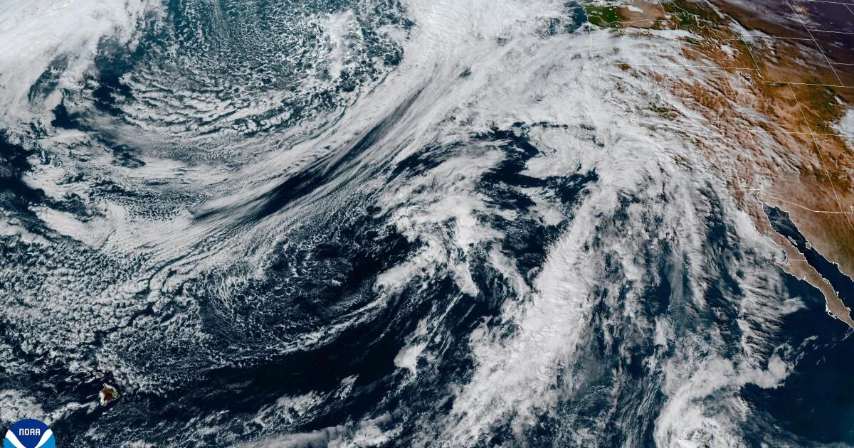
- A fast-moving atmospheric river storm is expected to bring heavy rainfall and possible flooding to Southern California from Thursday through Saturday.
- The storm could produce the most rain downtown Los Angeles has seen in at least a month, and possibly since February.
- Potential for burn area flash flooding and debris flows is high due to recent fires in the region.
- Winds could also be an issue with peak gusts of up to 60 mph along the Sierra Nevada range.
California Braces for Heavy Rain and Potential Flooding
A significant weather event is on the horizon for Southern California, with a fast-moving atmospheric river storm expected to bring heavy rainfall over the next few days. The National Weather Service has issued flood watches in several areas, particularly those affected by recent wildfires.
Heavy Rain and Flooding Concerns
The forecast indicates that Los Angeles will experience localized freeway flooding in low-lying areas, with potential for 1 to 2 inches of rain on the coast and valleys. The mountains and foothills could see up to 4 inches of rainfall. Major cities like Long Beach, downtown Los Angeles, Redondo Beach, Pomona, Pasadena, Oxnard, Santa Clarita, Westlake Village, Santa Barbara, and Ojai are expected to receive significant amounts of rain.
“There is a chance for burn area flash flooding and debris flow issues. A flood watch will be possible for burn scars,” stated Rose Schoenfeld, a National Weather Service meteorologist in Oxnard.
Wind Gusts and Travel Advisories
In addition to heavy rain, strong winds are expected, with peak gusts reaching 60 mph along the Sierra Nevada range. Travelers should be prepared for challenging driving conditions, especially in mountain passes and canyons. The National Weather Service has issued a winter storm warning from Thursday morning until Friday afternoon for elevations above 7,500 feet in Mono County.
Winds could exceed 100 mph along the ridgetops of the Sierra Nevada, potentially damaging power lines and trees. Mammoth Mountain is already celebrating an early start to its ski-and-snowboarding season due to incoming snowstorms, with opening day moved up to Saturday.
Impact on the Fire Season
The storm could make a significant difference in California’s fire season if it brings the anticipated precipitation. Officials generally like to see 3 to 4 inches of widespread rain in lower elevations to declare an end to the fire season. Downtown Los Angeles has already received over an inch of rain this month, with the wettest day being February 13 when 2.8 inches fell.
Temperatures are also expected to plunge as a result of the storm, impacting travel and daily life in Southern California.
Residents and travelers should prepare for cooler weather and potential disruptions to transportation and power lines.
The coming storm highlights the complex interplay between weather events and public safety in regions prone to wildfires. As communities continue to recover from recent fires, they face new challenges with heavy rain and strong winds, underscoring the need for continued vigilance and preparedness.