Key Highlights
- Oklahoma issued multiple severe thunderstorm and tornado warnings across the state on Thursday night into Friday morning.
- The National Weather Service reported several storms with threats of large hail, wind gusts up to 60 mph, and confirmed tornadoes in southeastern Alfalfa County.
- Tornado warnings were extended for areas including Helena, Jet, Cleo Springs, and Great Salt Plains Lake.
- Residents in impacted regions are advised to take immediate precautions as severe weather continues into Friday morning.
The Storm Surge: Tracking the Severe Weather Front
Oklahoma finds itself under a relentless storm surge, with the National Weather Service issuing multiple severe thunderstorm and tornado warnings across the state. The night of Thursday, March 6, 2026, into Friday morning, residents brace for the worst.
National Weather Service Updates
At 12:25 a.m. on Friday, a severe thunderstorm warning was issued for southeastern Woods County, Alfalfa County, and Major County. The main threat is 60 mph wind gusts, impacting Fairview, Cherokee, Helena, Ringwood, Carmen, Cleo Springs, Goltry, Meno, Jet, Aline, Dacoma, Byron, Lambert, Orienta, Ingersoll, Great Salt Plains Lake, and Bouse Junction. The warning expires at 1 a.m.
The morning of Friday brought another round of severe thunderstorm warnings, with the National Weather Service alerting areas in northern Dewey County, southwestern Major County, and southeastern Woodward County to expect two-inch hail and 60 mph wind gusts.
Affected regions include Taloga, Seiling, Camargo, Chester, Cestos, and Hucmac. The warning also expires at 1 a.m.
Confirmed Tornadoes and Threats
Around 9:25 p.m. Thursday, the National Weather Service issued a tornado warning for southeastern Alfalfa County until 10:15 p.m., confirming a “large and extremely dangerous” tornado near Helena. Areas like Helena, Jet, and Great Salt Plains Lake are in imminent danger.
At 9:35 p.m.
Thursday, another tornado warning was issued for southeast Alfalfa County with the potential for golf ball-sized hail. The confirmed tornado touched down at 9:32 p.m., prompting immediate warnings for Helena, Jet, and Great Salt Plains Lake.
Expert Perspective
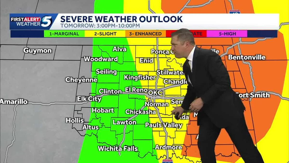
KOCO 5 Chief Meteorologist Damon Lane provided insight into the severity of the situation. “Rounds of storms are expected Friday morning before another round later in the day,” he stated. “Residents in impacted areas should take immediate precautions.” His warnings echo the urgency felt by meteorologists and residents alike.
By 10:50 p.m., a tornado warning remained in effect for central Grant County, with potential impacts on rural areas east and northeast of Wakita. The area was advised to prepare for severe weather well into Friday night.
Conclusion
The relentless storm surge across Oklahoma highlights the importance of staying informed and prepared during severe weather events. As the night progresses, residents in affected counties should follow local meteorologists’ advice and take necessary precautions to ensure their safety. The National Weather Service’s updates serve as a critical reminder of the ongoing threat posed by these severe thunderstorms and tornadoes.