Key Highlights
- Snow flurries could fall across North Alabama on Wednesday and Thursday.
- The European model suggests a cold rain moving in with potential light flurries around 12 a.m. Thursday.
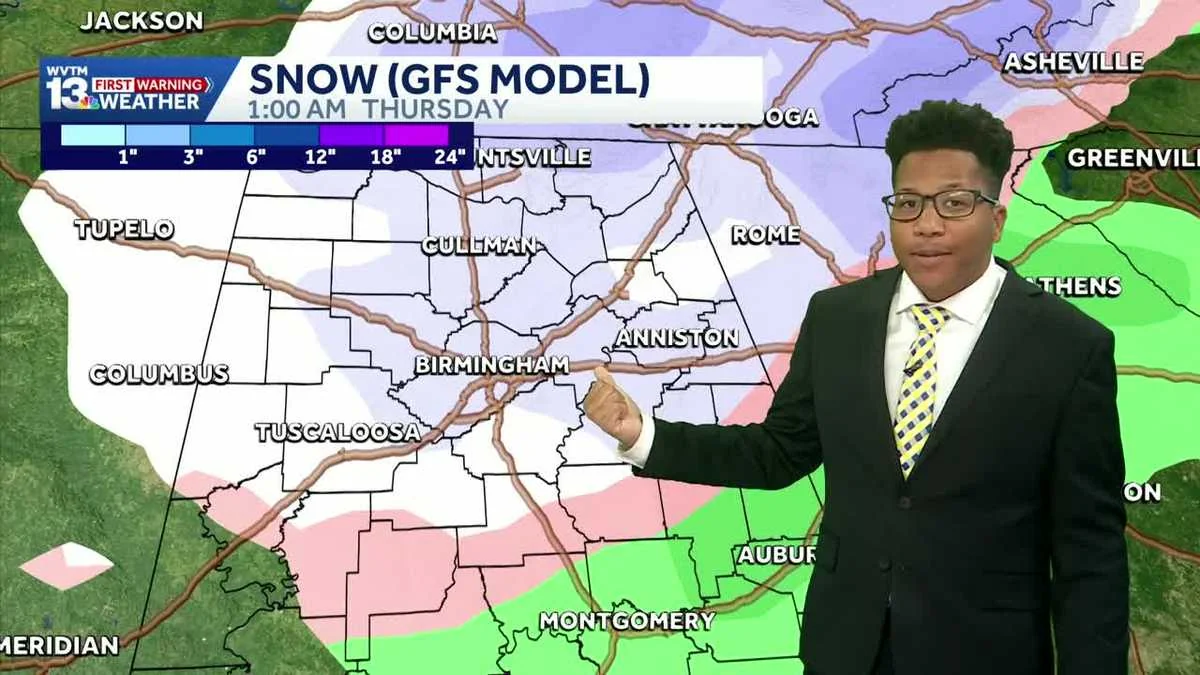
- The “worst-case” GFS model predicts a half-inch of accumulation, but it is the least likely outcome.
- Alabama will closely monitor trends for any significant changes in weather patterns.
The Winter Chill in Alabama: Snow Possibilities on Wednesday and Thursday
BIRMINGHAM, Ala. — As winter’s grip tightens over the southern states, meteorologists are keeping a close eye on a potential snow event for North Alabama this week. The forecast has left many residents wondering if they should break out their snow shovels or plan for a cozy evening at home.
The Forecast Breakdown
According to Jordan West, the lead meteorologist from our weather center, the region is tracking two primary scenarios:
- The Likely Scenario (European Model): This model indicates that a cold rain will move in Wednesday afternoon. By early Thursday morning, it could transition into light flurries in northeast Alabama specifically in DeKalb and Cherokee counties. The European model suggests this would be a low-impact event with minimal travel disruption.
- The “Worst-Case” Scenario (GFS Model): This more aggressive model predicts rain transitioning to snow early Thursday morning, potentially leading to roughly half an inch of accumulation in some areas.
However, the GFS model is currently seen as the least likely outcome.
“While both models provide valuable insights,” West notes, “we are leaning towards the European model for now due to its higher confidence level.” He adds, “In Alabama, it only takes a few degrees to change rain into ice. Therefore, we will continue monitoring the trends closely as conditions evolve.”
The Bottom Line
As of January 11, 2026, the weather forecasters are tracking two scenarios for snow in North Alabama this week. Residents can expect a low-impact event if the European model holds true, with potential light flurries and no major travel concerns.
“While the GFS model predicts more accumulation,” West concludes, “it’s currently less likely to materialize based on current data. We will keep our audience informed as new information becomes available.”
Stay tuned for updates from your local weather center as conditions continue to evolve in North Alabama this week.